Matthew Corbet's Frank Slide POVRAY
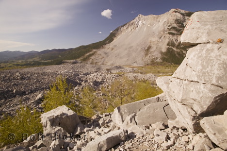
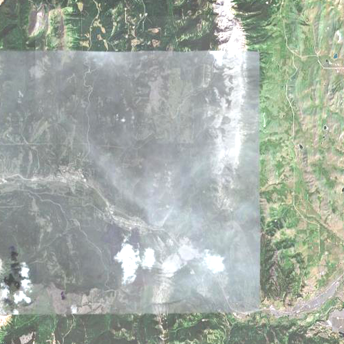
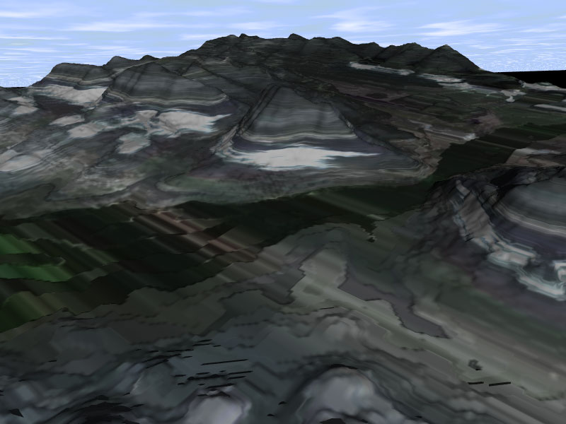
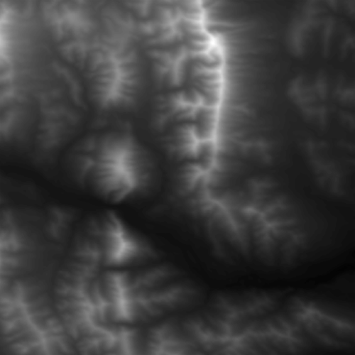
To create this terrain model, I used acaully GIS Digital elevation models to recreate Turtle mountain.
This is the site of frank slide, where in the early 1900's canada's largest, and most lethal landslide took place today there is a tourism center and monitoring stations under turtle
mountain in the town of Blairmore, Alberta.
The terrain model itself is quite accurate and is quite suitable for use in GIS application.
The first problem was converting the DEM to a 16 bit greyscale image the height_field function
can use this took a signifigant amount of time as none of the few utilities i found online worked.
The image overlay was intended to be satellite overheads of the area, but it needs some work still to compensate for the distortions. This was a major unforseen problem, even though I have been working with bicubic patches to correct the distortions but it is a very advanced function and there is very little help or documentation. and requires some of the more advanced functions in MoRay to build a mesh for the image.

i'm told it still looks good regardless.
I think the concepts shown here are what i was going for, to show how 3d graphics programs can be used to present
information in GIS. This is something i could use as part of my Computerscience/GIS degree.
The overlay2.png is made from a DEM downloaded from GeoBase.com and the image map overlay3.png is a screen capture from google earth.


Overlay2
Overlay3